QML Web View
← QML GPS Example | ● | QML Camera Example →
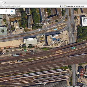
In this QML example we use the Google Maps API to display a map at the actual location provided by the GPS sensor.
The Google API uses the REST notation with the following parameters:
- ll = Lat/Lon coordinate
- z = zoom level (0–20)
- t = map type (“m” map, “k” satellite, “h” hybrid, “p” terrain, “e” GoogleEarth)
So for the TH N├╝rnberg at the GPS position (49.448,11.096) the correspondig URL for Google maps is:
http://maps.google.com/maps?ll=49.448,11.096&t=k&z=18”
Using the QML WebView class to show a map with the above url notation:
import QtQuick 2.0
import QtWebView 1.0
import QtPositioning 5.3

Rectangle {
    id: top
    anchors.fill: parent
    color: "black"

    PositionSource {
        id: gps
        preferredPositioningMethods: PositionSource.SatellitePositioningMethods
        updateInterval: 1000 // ms
        active: true
        onPositionChanged: {
            active = false;
        }
    }

    WebView {
        id: webview
        anchors.fill: parent

        url: "http://maps.google.com/maps?ll=" +
             gps.position.coordinate.latitude + "," +
             gps.position.coordinate.longitude +
             "&t=k&z=18"

        visible: gps.position.latitudeValid && gps.position.longitudeValid
    }
}
In the project file we need to add:
QT += webview
In the main function we need to initialize the web view:
#include <QtWebView/QtWebView>

QtWebView::initialize();
Full source code:
svn co svn://schorsch.efi.fh-nuernberg.de/qt-android/simpleweb
← QML GPS Example | ● | QML Camera Example →
